31 May 2011

Kayaking on Lake Hiidenvesi and Lake Lohjanjärvi in Finland

May 2011

Paddled three days (27th - 29th) through two big lakes in southern Finland, located about 50km west from Helsinki. It was my very first time paddling on these lakes even they were so near Helsinki.

Paddled distance was altogether about 80km.  This was an organised trip by some local kayaking club(s). There were about 10 people who paddled the route together (all more or less strangers to each other). We had a safety boat following us during all three days.

During the whole weekend there was a strong headwind with rain. During Saturday there was a short exception to this scheme when the sun shined brightly some hours. That really crowned the day. Temperature stayed just above +10C (typical Finnish summer weather as some one may say).

Despite not being a perfect weather, I did enjoy spending three days in a kayak on these waters. The group kept well the same speed and we had lots of fun during the days.  Good experience indeed.

Location of the photos here.


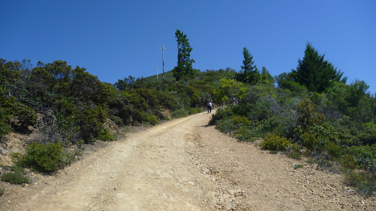
Day 1, Vihti - Kisakallio/Lohja
Once kayaks were packed, off we went. Immediately a strong headwind on Mustionselkä. Our direction was towards south-west and that's where the wind blew. When we turned to Lake Hiidenvesi, directing to west, the wind changed a while giving a tailwind and big waves. After having two breaks, started to rain (until evening) but at the same time the wind melted away.

It was nice to paddle under the bridge. The bridge was part of the old road number 1 motorway between Helsinki and Turku. Now a new highway crossed a scenery some twenty km's south from here.

After the bridge the larger area of the lake finished and the route started to shape to Väänteenjoki river. Everywhere there were lots of summer cottages, pretty well hided behind trees near water line. Before arriving at northern part of Lake Lohjanjärvi, there was a lock that you had to pass (Väänteenjoki). The difference in water level between Lake Hiidenvesi and Lake Lohjanjärvi was about 40cm. We stayed on kayaks while our safety boat driver manually opened the lock.

After the lock there was some kilometer to paddle to finish our day 1. The first night we stayed at Kisakallio in Lohja, a southmost Sports Institute in Finland.  Some people stayed in their tents, some, like me, stayed at the hotel. It was real luxury to get wet and sweaty paddling clothes drying in the room (although an odor was ...).  In the evening we had booked a sauna near the lake. Brave ones went to swim, too. Grilled some sausages and off to bed.

About 24km paddling behind and the day 1 was done.

Paddling route of day 1 (show larger map):


Packing, surely I forgot something?

Tail wind and big enough waves. Good speed!

You surely spot this Ad

It's time for a sauna

Serene

Raindrops


Day 2, Kisakallio/Lohja - Hopeaniemi/Karjalohja
Early breakfast at the hotel (for all of us), loading stuff into kayaks and off we went. Target was to paddle through Lake Lohjanjärvi to Hopeaniemi rehability&spa center at Karjalohja, pausing several times at local farm houses. Estimated distance was about 32km, towards south, south-west and west. No big guessing about wind direction; headwind all the way, some time stronger and some time almost nothing.  Bright sun shine at the middle of the day raised our spirit a lot.

From the start, a couple of new paddlers joined us. Narrow lake or a river at first until we paddled under the new motorway 1 bridge (near ABC station). Have to say the noise of continuous cars crossing it brought unwanted noise long way from it, thus didn't envy those summer cottage owners near by.

A short landing near the city center of Lohja. Caught cold almost on every stop. One important thing to do while paddling, even in cold weather conditions, is to remember to drink (water) enough, and regularly. This people seem to forget especially if it's cold.

We crossed the Lake Lohjanjärvi near its east shore, thus didn't have to go through any large open space. The next stop was at the new guest house, owned by a Brit who offered us a meat pie. Mmm, delicious it was!

Right after leaving early lunch place the sun appeared. It also raised the wind. We circled the biggest island on this lake from west side and headed to the 2nd lunch place. It was a nice farm house in Lohjansaari island, offering some local food.

After the break the route continued in shadows of the wind until it spreaded all over. Two to three km's we pushed through strong headwind and big waves. Last km's were quite easy and then the sun had decided to hide itself behind clouds.

Some set up their tents and some headed into their hotel rooms. This one was quite modest. Important was to get clothes dry before the next morning. Cooked some dinner at room. Watched a while Champions League final from TV until a sleep won the battle.

About 34km paddling behind and the day 2 was done.

Paddling route of day 2 (show larger map):


Highway 1. What a constant noise!

Me and the tree

Old boat shelter

Reaching

Lake Lohjanjärvi

Renovated boat shelter

What's that?   Oh, it's the sun!

A secret route

Newcomers

Now yellow, soon white dust

Snif, snif

The real beauty

Formation in thousands of years

Felt like a Lucky Luke

A nest with two eggs. One big wave and there would be no nest

Just a good scenery, that's all

Almost there


Day 3, Hopeaniemi/Karjalohja - Mustio Manor
A cloudy morning, a pretty strong wind, rain could have started at any time. Had a breakfast at the hotel, loaded stuff into kayaks and off we went again. There were a couple of new people who wanted to join but our leader noticed they didn't have proper clothing and after 2mins of paddling couldn't keep direction and speed so we had to say them thanks but no thanks (too risky. I think the decision was right and justified as weather conditions were pretty nasty).

Pushed through Karjalohja's Peninsula in Lake Lohjanjärvi, all the way some headwind. Had a couple of short breaks while staying on kayaks. The first landing we did on Härkäsaari island. Ate some quick energy there, drank some hot drink and off again. But not too long while we had our 2nd and last landing. This time cooked a hot meal using a Primus gas cooker (EtaPower).

Right after the stop started to rain heavily, again.  The rest of the trip was through headwind. Arrived near Mustio Manor at about 4PM. Under rain packed kayaks, changed some dry clothes, waved goodbyes. The trip was done, hate to say goodbyes.

About 24km paddling behind and the day 3 was done, as was the whole three day paddling trip.

It was interesting to see these waters. Lake Hiidenvesi was quite different than Lake Lohjanjärvi. Former being more wilderness type, just forest ending to shore, whereas latter had some large stones and rocky islands and shores. Latter felt much larger (and it was, too).

Paddling route of day 3 (show larger map):


A private island

On the edge

Birch

Local rockies

Sometimes a landing place is not optimal

Formation


21 May 2011

Experiencing kayaking with Greenland paddles for the first time

May 2011


Our kayaking club offered members an opportunity to learn sea kayaking with Greenland paddles.  I've never ever experienced to paddle with them, always have had some (negative) 'expectations' against them and used 'proper' paddles only. The lighter the better had been a motto, had thought those 'wooden sticks' would weight a lot more, getting nowhere with them in headwind and the only usage carrying them with you would have been cutting them pieces to get a small camp fire.

Well, now when writing this post in the afternoon, have to admit that all negative expectations were gone, and lots of new, only positive, feelings have appeared and would stay in mind now. Can you be so enthusiast about them, they are just 'wooden sticks'? Well, if you like kayaking and like to paddle, then you start to be keen on topics around paddling, not to mention equipment. To me from now on, they are the real kayaking equipment, not 'wooden sticks' anymore, and what's more, I started to like them.

More than dozen enthusiasts gathered to our club house this morning. Sunny day with a moderate wind, thus a good weather to stay in a kayak. All more or less stared at different size of wooden 'sticks' in a row, but simultaneously eagerly waited to try them in practice. Some had paddled with them earlier a little, some others like me, never.

There was a guy in front of us, a very experienced kayaker who had actually handmade all these paddles by himself, started to give a short theory lesson about right paddling techniques with them. He also explained different types of them, e.g. a model of Aleut type, west side and east side of Greenland (Aleut not from Greenland but from Alaska, islands near by) etc etc.    E.g. to me an Aleut type of paddle looked like two thin cricket clubs clued together ...

After theory, we eagerly jumped into our kayaks and got first paddle experience. Have to say, it felt so different that without to learn a right paddling technique with them minutes ago, it would have been a very short experience to me.

I was amazed how light it was to paddle, also how easy it was to gain a relatively high speed with them. Turnings, slow downs, all of them felt pretty easy.

After some experience we headed towards more open area and started to paddle against head wind. Waves were something one to two feet high.  Perhaps my biggest positive notice came then, how easy, how light it was to paddle in head wind. Really light!

We experienced wind from all directions, on purpose. We also exchanged paddles on the fly between each other, to experience different size and type of paddles in different wind conditions. Tested several models and loved all of them.  Also did some higher speed spurts with them, by just increasing paddling rhythm  not increasing any force.

After we came back to club house, some of us exercised rolls. Most of them said eskimo roll was more easier to do with them than with ordinary paddles.

My observation after paddling was that all participants were very happy about what they had just experienced, including myself. Especially to me, it was 'love at first sight'. Actually, it was not enough for me, I wanted more. I wanted to continue paddling with them in future, too.  Thus I made a decision to immediately buy one of them.  Luckily the lecturer sold me a one of them. It' s a west greenland type, a handmade from spruce.

So, tomorrow, I'll go to paddle with my new greenland paddle!

'Wooden Sticks'

The first victim

Busy exercise

Off we went

Time to test Aleut model

01 May 2011

Hiking Muir Woods - Mount Tamalpais - Muir Woods, California

May 2011

Instead of spending time on Sunday with thousands of other people in sightseeing places in San Francisco, headed north to see huge redwood trees in Muir Woods National Monument. It's actually a forest of redwood trees in a valley. Trees were huge, almost 100m tall and about 1000 years old, magnificent, so surely a monument itself.

Just to see these trees was only one part of the plan, the whole idea was to hike from there to top of Mount Tamalpais (east peak) and to return back to Muir Woods. And to do the hike with Vibram FiveFingers shoes (model KSO). Had a spare pair of shoes with me in a backpack, in case FiveFingers would have 'destroyed' my feet, but never needed them.

The hike was all together 19km and did it in 5 hrs 30mins. Had no major problems with my feet with these shoes on. Wearing ordinary shoes immediately after the hike felt so weird. Will wear these shoes more this summer in Finland (maybe even to try to run with them?).

Along the road to Muir Woods were lots of big eucalyptus trees. Did they bring a smell of lavendel? Nice looking trees to me, exotic ones.


The Hiking Route

A ticket to Muir Woods cost 5 dollars. Asked some advice for optimal hiking route to Mount Tam. The Lady at the ticket booth was friendly and gave me good hints for right route. The starting point was 150 ft above the sea level. Had bought Mount Tam Trail Map earlier, which showed hiking trails, their distances etc.

At first in the Muir Woods, there was the Main Trail which continued about 3 km, practically flat all the time. All along the pathway there were these magnificent old and tall redwood trees.

Turned right to Fern Creek Trail, climbing started there, having steps in some places. Very nice soft terrain path, big trees brought shadows. Continued less than 1 km and turned right to No Name Trail. Again after less than a 1 km, turned left to Ocean View Trail which went towards the Panoramic Highway and merged to Panoramic Trail. The trail came to the road itself at Mount Tamalpais State Park sign near Mountain Home Inn.

After 200m crossed the asphalt road and followed other people and mountain cyclists on a sandy Hogback Fire Trail road which started to ascend steeply towards the peak. After less than 1km came to T-junction, took a left turn and continued a sandy Old Railroad Grade road again less than a 1 km. This road was not steep anymore and seemed to be popular for mountain bikers. At a U turn, with some tall redwoods, turned right off the road to Fern Creek Trail which was a steep shortcut to east peak.

The shortcut ended near Mount Tamalpais State Park Visitor Center. There was a car park full of cars, mountain bikers and some hikers, too.  Took a good sip of water, filled in water bottles and continued to East Peak of Mount Tam, having less than a 1 km left.

There was a hut on the peak but it wasn't open. Scenery from there was spectacular. How small cities of Sausalito, Berkeley, Oakland and San Francisco really showed from there.  The East Peak was 2571ft above the sea level. From Muir Woods to the top of East Peak was about 8km and took about 2h 30mins.

Back from the East Peak until the Visitor Center the trail was the same. Then decided to follow less steeper road back to Mountain Home Inn to save power in legs and feet (my problem in mountain hiking are descendings).  So started to hike down via Old Railroad Grade road. Every now and then had to stop to take some photos due to magnificent scenery. Also some people hiking by asked about my FiveFingers shoes (usually like "how on earth..." etc.).  I'm pretty sure one of hikers was an actress Linda Hamilton (didn't exchange a word with her, neither any photos).

The road took a U turn at West Point hut. Hikers and Mountain Bikers had their break there while enjoying the scenery (SF Bay area on left, State Park down in the middle and Pacific Ocean on right).

The road had some sharp rocks. Stepped in one of them, which really hurt my foot. Suddenly there was a fresh water fall near by. Cooled down the foot and after 5mins didn't feel any pain anymore.

The U turn on the road merged the Fern Creek Trail (near big redwood trees), which I had taken an hour or two ago. From here my  returned hiking path was exactly the same as the one that took me there.  Now there were much more people on trails.

Descending back to Muir Woods felt shorter and easier than ascending one.  Saw a black-tailed deer near the route, wasn't afraid of tens of tourists taking photos of her. Again, enjoyed these big trees.

At the end, GPS showing 19 km and 5 hrs 30 mins, felt a bit tired but really happy when reaching the coffee shop at Muir Woods.  Bought a small plant of the Giant Sequoia redwood tree (it tolerates cold weather better than other species).

Overall was really happy about decision of spending the day here instead of downtown. The very first experience with FiveFingers was also great.

Saw lots of trails going here and there in MTSP. It must be very nice area to hike, to ride a bicycle, or even run. Scenery, Pacific Ocean, animals, plants, friendly people etc.

Here's the GPS stored route (View Larger Map):


A sign to an ancient forest of old redwood trees

Ready, Steady, Go!

Treehuggers

A spiritual session


A black-tailed deer

A shelter for two

Well provided signs, really liked them

Nice soft terrain trail

Shadows

Steep on the right

Arriving at Panoramic Trail

5km from Muir Woods, about 925ft altitude

Arriving at MTSP

Hogback Fire Trail

Fern Creek Trail

MTSP Visitor Center area

Warning of rattlesnakes

Final climb to East Peak

A scenery from East Peak towards SF, Pacific 2571ft down on right

A great place for a rest

Old Railroad Grade road

Old redwoods at U turn on Old RR Grave rd